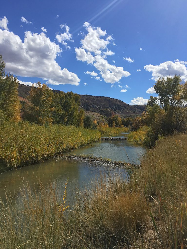
During the Dominguez-Escalante expedition of 1776, Father Escalante wrote about the lands they passed through.
In the following passage from his journal, he describes Utah Valley.
Notice what the explorers noticed about the land.
What did they have in mind for the future of the land?
What would you notice if you were going into the place you live now before there were any houses?
From Escalante’s journal, September 1776:
On the northern side of the San Buenaventura River [the Green River], as we said before, there is a ridge of mountains and from what we could see of it, it runs from northeast to southwest more than seventy leagues. [They may be referring to both the Uinta Mountains and the Wasatch Mountains, mistaking them for one mountain range.)
In its widest part it is more than forty leagues [a Spanish league equals 2.63 miles], and where we crossed it, perhaps thirty. In this ridge, on the western side, at 40°49′ latitude, northwest, a quarter north of the town of Santa Fé, is situated the Valley de Nuestra Señora de la Merced de los Timpanoautzis [Utah Valley], surrounded by the highest peaks of the ridge from which four medium-sized rivers descend which irrigate the valley, flowing until they enter the lake which is in the center.
The plain of the valley from southeast to northwest extends about sixteen Spanish leagues…and from northeast to southwest ten or twelve leagues. It is all clear land except for the marshes by the side of the lake where the soil is good for every kind of planting.

Of the four rivers which irrigate the valley, the first one on the southern side is the Aguas Calientes River [Spanish Fork River], in whose extensive valleys there is ground enough, easily irrigated, for two large towns.
The second river, going north, three leagues from the first one, is more abundant and can support a large town or two smaller ones, there being much good soil, easily irrigated. This river, before emptying into the lake, is divided into two branches. On its banks, in addition to the poplars, there are tall alder trees. We named it the San Nicolas River [apparently Spring Creek and Hobble Creek].
Three leagues and a half northwest is the third river, of flat valleys with good soil for planting. It is more abundant than the two above mentioned; it has larger poplar groves and valleys of good soil with sufficient water to support two or even three large towns.
We spent September 24th and 25th by its bank and named it the San Antonio de Padua River [Provo River].
We did not reach the fourth river, though we could see its poplar groves. It is situated northwest of the San Antonio River, and it has on this side much flat and seemingly good soil. They told us it has as much water as the others, and therefore several settlements or villages could be established by it. We named it the Santa Ana River [American Fork River].
In addition to these rivers there are in the plain many springs of good water and several springs which issue from the mountains. What we have just said concerning the towns, meant giving each one of them much more land than it would really need; if each town should take only one league of and for cultivation, there would be as many towns in the valley as there are in Nuevo-México; so that even if we offer large stretches of land on the upper bank, on the lower bank there are wide sections of good earth.
Throughout the valley there is much good pasture and in some places flax and hemp grow in such abundance that it seems as though they had been planted deliberately. The climate is also good here because after suffering from the cold from the time we left the San Buenaventura River, now, night and day, throughout the valley, we feel very warm.
Beside these excellent natural features, the surrounding mountains contain sufficient timber and fire-wood, many shelters, springs and pasture lands to raise cattle and horses. All this is true of the north, northeast, east and south eastparts.
On the south and southwest there are two other extensive valleys, also with abundant pasture and sufficient water. The lake extends to one of these valleys. It may be about six leagues wide and fifteen long and runs northwest. By means of a narrow opening, according to what they told us, it unites with others very much larger. The Timpanogotzis Lake [Utah Lake] is teeming with several kinds of edible fish, in addition to geese, beaver, and other land and water animals, which we did not see.
When the Dominguez-Escalante expedition passed through Utah Valley, thousands of people were already living there. They belonged to the Ute Tribe. The Spanish never settled in Utah Valley.
Why did Father Escalante identify this place as a good place to live?
How is Utah Valley different today than it was in 1776?