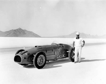
Tooele County is Basin and Range country. Most of its towns lie in a broad valley between the mineral-rich Oquirrh Mountains on the east and the Onaqui and Stansbury Mountains to the west.
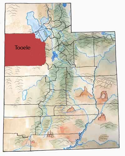
The Great Salt Lake Desert covers most of western Tooele, except the southwest corner, where the Deep Creek Mountains rise up.
First Peoples
In the 1950s, archaeologist Jesse Jennings excavated a cave near Wendover called Danger Cave. In the layers of dirt in Danger Cave, he found interesting artifacts, such as fabric, human coprolites (feces), leather scraps, nets of twine, basket fragments, and bone and wood tools such as knives, weapons, and millstones. His crew also found 68 plant species that still grow today within ten miles of the cave and the bones of many species of animals.
Jennings had many artifacts dated using the Carbon-14 method. The age of the oldest material—more than 11,000 years—surprised everyone. It turned out that Danger Cave was one of the oldest sites inhabited by humans in North America.
The Archaic people who used the cave lived in small groups of 30 people. They wandered during the year spending their time finding and processing food.
Later, the Fremont culture lived in the area—and also used Danger Cave.
Later came the Goshutes. The Goshute Indians used the desert plants and animals in ingenious ways and thrived in Utah before Euroamericans came to the state. Today, Goshutes still thrive in this area, living in Skull Valley as part of the Skull Valley Band of Goshute and in Ibapah as part of the Confederated Tribes of the Goshute.
Settlers
Tuilla, as it was originally spelled, was one of six original counties the legislature created in January 1850. The legislature changed its boundaries several times. Today it is the state’s second largest county.
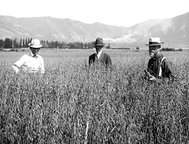
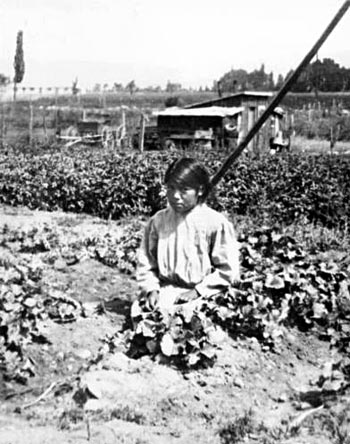
The Mormons herded livestock in Tooele Valley before settlers came to stay in 1849. The early settlers farmed, growing hay and grain especially. They built gristmills and sawmills. And they produced salt, charcoal, lime, adobe bricks, and woolen products. Large sheep and cattle herds grazed the valley.
Mining
Between the 1860s to World War II, mining and smelting became the county’s strongest economic factor.
The Rush Valley Mining District, organized in 1864 by soldiers from Fort Douglas, included all of the western Oquirrh Mountains. During the first year, prospectors located more than 500 mining claims!
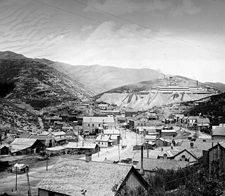
Ophir and Mercur became the most important mining towns. Ophir boomed in the 1870s with about 6,000 people. Its mines produced millions of dollars in silver, lead, zinc, and gold.
Mercur endured several boom and bust cycles and two major fires. At one time it had a population of around 10,000, and its citizens thought they might replace Tooele City as the county seat. Today, Mercur no longer exists, and only a few people live in Ophir.
In 1910 the International Smelting and Refining Company built a smelter east of Tooele City. For some 60 years, the smelter processed ore carried by aerial tramway from the Bingham mine. Many immigrants came to work at the plant—making Tooele more diverse. The Tooele Valley Railroad, completed in 1909, served the smelter and created more jobs.
June 26, 1902, fire destroyed Mercur, but it was quickly rebuilt. Fire was a threat in most mining towns where structures were made of cheap lumber.
Military
During World War II the U.S. government built several military installations in Tooele County. These brought many people into the county and millions of dollars into the local economy.
The Wendover Air Base near the Nevada border became an important site for bomber training. It had almost 20,000 military and civilian personnel. The crew that dropped the atomic bomb on Hiroshima trained there.
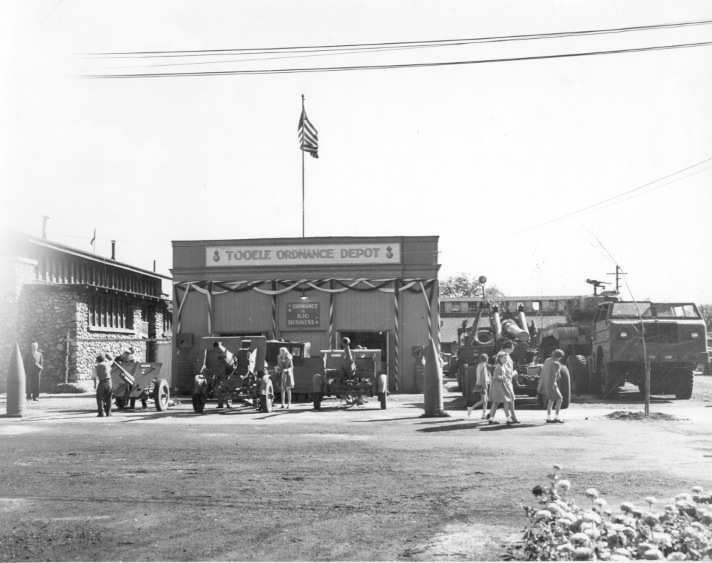
Tooele Ordnance Depot (now Tooele Army Depot, TAD), built in 1942 on a huge tract of land south of Tooele City, served as a major supply, storage, and repair center. Two thousand people worked there in 1944. Many worked there also during the Korean and Vietnam wars.
A missile test range became an important place in developing new missiles. The Dugway Proving Grounds was built in the 1940s as a place to test chemical and biological weapons. In the 1970s, a large number of sheep in the area were killed—presumably from a mistake in the testing.
Today most of western Tooele County is still reserved for military use.
Did You Know?
| Humans used Danger Cave, near Wendover, for thousands of years. |
| The Pony Express came through Tooele County. |
| The Catholic church built a church in Tooele in 1910. |
| Crews finished the first transcontinental telephone line at Wendover in 1914. |
| For a few years, a colony of Hawaiians made the desert “bloom” at a little town called Iosepa—but most had returned to Hawaii by 1917. |
Fast Facts
Area: 6,923 Miles
County Seat: Tooele
Where it Got its Name: The name came from two different possibilities. It was either from the word tule which is a Spanish word of Aztec origin meaning bulrush. It could also be from the Goshute word tu-wada that means bear
Main Cities and Towns: Tooele, Grantsville, Wendover
Economy: Defense, Transportation, Communication, Trade, Services.
Keep Exploring!
Return to the County’s home page here.
Return to the I Love Utah History home page here.