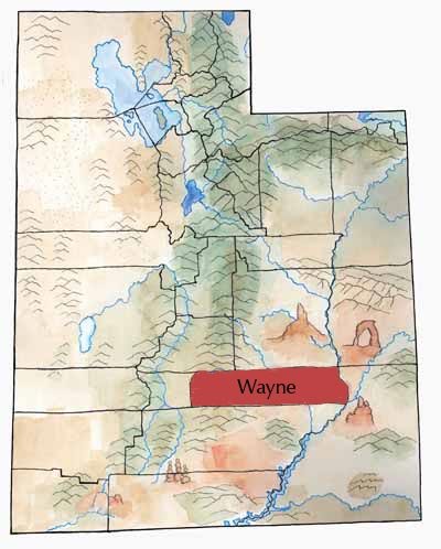
Wayne County lies within the colorful Colorado Plateau province. Much of the beautiful Capitol Reef and Canyonlands National Parks, with their rock formations, cliffs, canyons, and valleys, lies in the county.
West of the desert landscape of Capitol Reef, Boulder Mountain and Thousand Lakes Mountain rise up into forests and high alpine country.
East of Capitol Reef to Hanksville the land is broken by mesas, badlands, and bentonite clay hills.
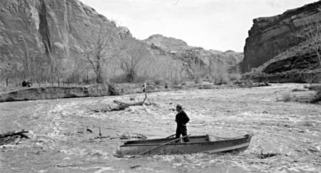
The life-giving Fremont River flows south through the county and then east to join the Dirty Devil, which flows into the Colorado River.
First Peoples
Scientists have identified the remains of extinct Pleistocene species such as the sloth, horse, mammoth, bison, and camel in Wayne County. Paleoindian people may have hunted these animals here.
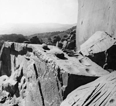
Archaic sites date back to 6300 BC. These ancient people left behind artifacts, including split-twig figurines (little animals made from twigs) at Cowboy Cave. They painted haunting pictographs on the canyon walls in Horseshoe (Barrier) Canyon, and the Maze section of Canyonlands.
Beginning about 2,000 years ago, the Fremont people used this land. It was in this area that anthropologists first recognized the Fremont culture—and that it was different from Ancestral Puebloan culture. In the area of the Fremont River, archaeologists found unique baskets, a unique kind of moccasin, little clay figurines, unique rock art, and thin gray pottery.
Explorers
A few Euro American exploring parties passed through Wayne County, including John C. Fremont, Mormons, and John Wesley Powell. Almon Thompson, working for the Powell Survey, spent two years making the first map of southern Utah and the Green and Colorado river canyons, including the future Wayne County.
Grove Karl Gilbert, with the same expedition, studied the geology of the Henry Mountains, just over the border in Garfield county. He traveled through and described Wayne County on his way to the mountains.
Settlers
People in search of new land for grazing and farming began coming to the area in the 1870s. They settled on parcels of land near mountains or on rivers, where they could get water. Many filed on homesteads in order to get land from the federal government for free.
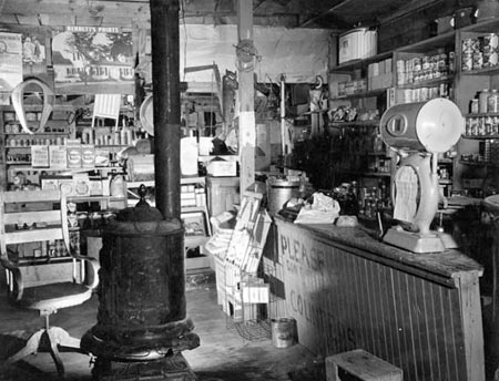
Farmers raised grain, alfalfa, potatoes, cattle, sheep, and chickens, among other things. At Fruita, a town that was inside what is now Capitol Reef National Park, the settlers planted fruit trees, and they peddled the fruit to surrounding towns. Later, some people made whiskey, which they sold to cowboys and miners.
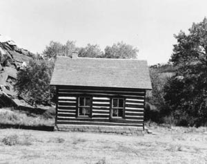
They founded towns, built meetinghouses that also served as schools and community centers, planted trees, and helped each other.
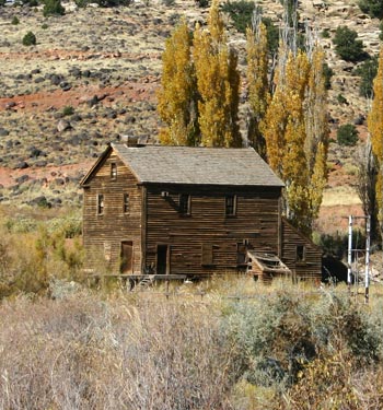
Near Bicknell, Peter Nielson built a fine gristmill that you can still see on the Fremont River. Isaac Riddle and his sons built a lumber mill near Teasdale in Boulder Canyon. Other sawmills went up in the county, with good timber coming from Boulder Mountain and Thousand Lakes Mountain.
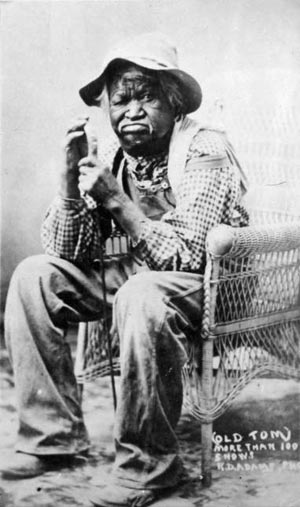
Wayne County’s towns were very isolated, and most people lived simply. Some of the towns didn’t survive.
Economy
Raising livestock is the oldest and most important industry in Wayne County. Beef cattle produce the most income, but dairy cows, sheep, and poultry have all contributed to the local economy in the past.
Getting cattle to market took some doing. Before good roads and trucks, cowboys and sheepherders had to herd their animals 100 miles north to the railroad at Nephi or, later, to a railroad in Sevier County.
When the government created national forests in the early 20th century, it began to control the numbers of animals grazing in the forests. Also, cattle rustling (often by the notorious Robbers Roost gang) threatened ranchers until the late 1890s.
The lumber industry and, in more recent years, tourism also provide income for some residents. Uranium has been mined, and tar sands, another-energy-related resource, await development. The state operates two fish hatcheries in Wayne.
During the Great Depression, the Works Progress Administration (WPA) provided funds to build a county courthouse in Loa. Before this, county officials had met in private homes or rented quarters. Later, they converted a store into office space.
The Civilian Conservation Corps (CCC), another federal program during the Depression, operated three camps in the county. The CCC built roads, campgrounds, and small water projects.
Roads have been important—and hard to build—from the beginning. Paved highways now make it easy for tourists to drive to many scenic attractions and give residents easy access to the stores, medical clinics, and other services in Richfield.
Did You Know?
| Because the Fremont River got its name from John C. Fremont, the Fremont Culture got its name (oddly enough) from this white explorer. |
| In Loa, early residents liked to bet on horse races. People would bet using cows and calves, among other things. |
| The settlers of Fruita grew all kinds of fruit. The National Park Service still maintains some of the orchards. |
| “Wayne Wonderland” became Capital Reef National Monument in 1937. It became a national park in 1971. |
| The bentonite clay in the county must be the stickiest mud anywhere! |
Fast Facts
Area: 2,486 Square Miles
County Seat: Loa
Where it Got its Name: Legislator Willis E. Robinson’s son
Principle Cities/Towns: Loa, Bicknell
Economy: Cattle, Lumber, Tourism
Keep Exploring!
Return to the County’s home page here.
Return to the I Love Utah History home page here.